guide to PNW hikes
granola girl backstory
I’ve never been on a hike until I was 20 years old. During my first summer in Seattle, I went on a few hikes because my friends wanted to and I followed along because I didn’t want to be a party pooper. I discovered that there are a bunch of perks with hiking since I’m able to exercise my endurance and body while not having to do my least favorite sport – run. Additionally, I enjoy working hard for an outcome which is esentially what hiking entails. Hikers have to battle through the hike in order to (typically) reach the goal: the view.
During my second summer in Seattle, my objective was to go on a hike every weekend since Washington’s nature is beautiful and more accessible than the hikes in California. I also needed some sort of consistent exercise with all of the free food I was getting 💀. Admittedly, I’ve become a granola girl and have bought a pair of hiking boots, a hiking backpack, trail mix, forest day passes, and rented some cars to just go hiking during Summer 2024. My next purchase will probably be a pair of hiking poles or a REI subscription 💀.
I’m by no means an experienced hiker which is why I think it’d be nice to have reviews from someone who started hiking with no experience and also isn’t an incredibly fit athlete (introduces bias) either LOL. Additionally, I didn’t have a car during both summers so I wanted to share hikes I was able to go on without a car. Lastly, I’ve been asked by many people which hikes I’d recommend going on for beginners in Seattle so this is my comprehensive list.
In this article, I’ll be listing the trail I went on, the length of the trail, difficulty, key details, and a summary of my hike. During Summer 2023, I lived in Capitol Hill and the UW area whereas in Summer 2024, I lived in Capitol Hill so transportation will be based off of those areas.
All Hikes I’ve Been On
* = accessible using Trailhead Direct
Summer 2023
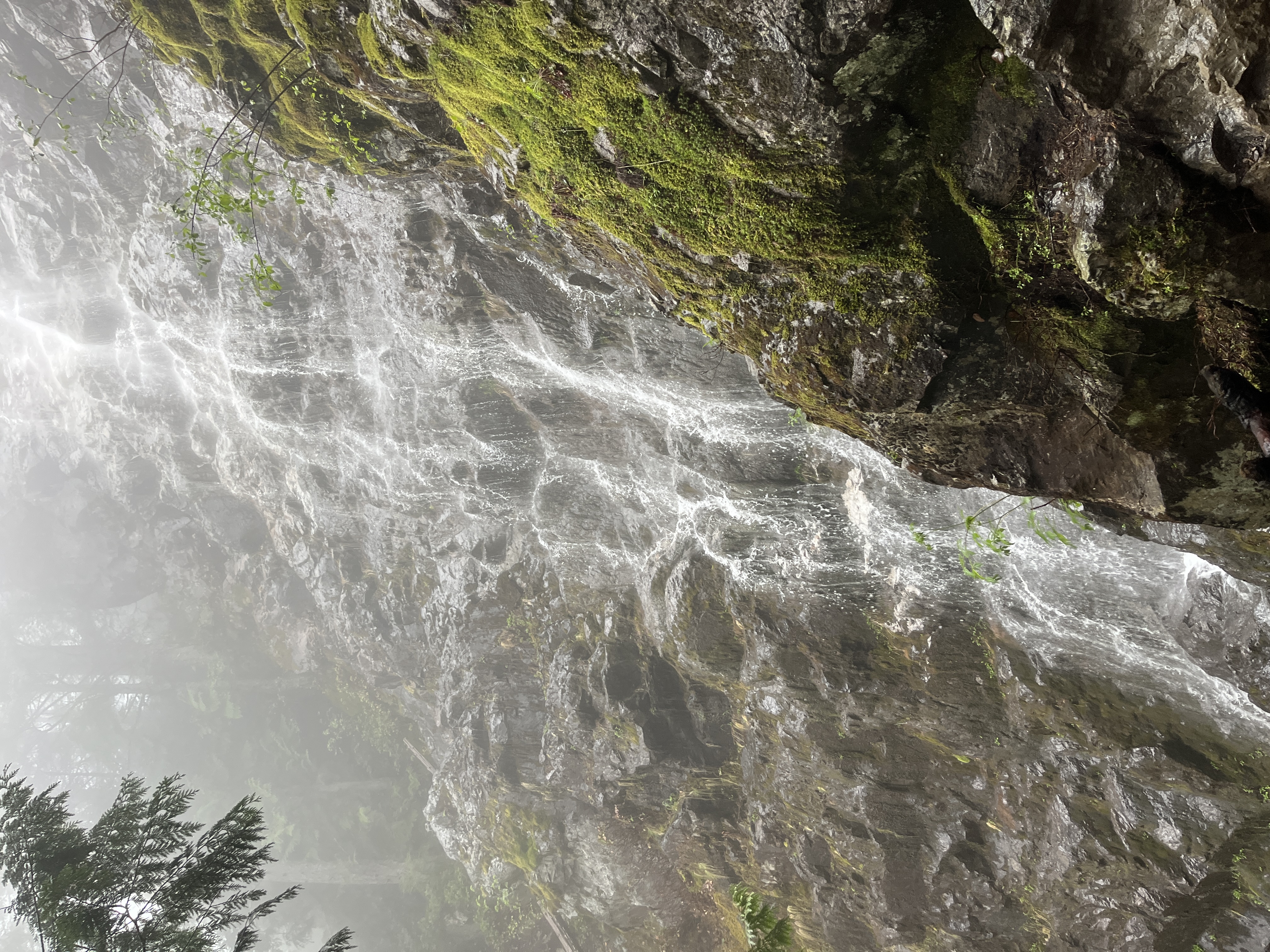
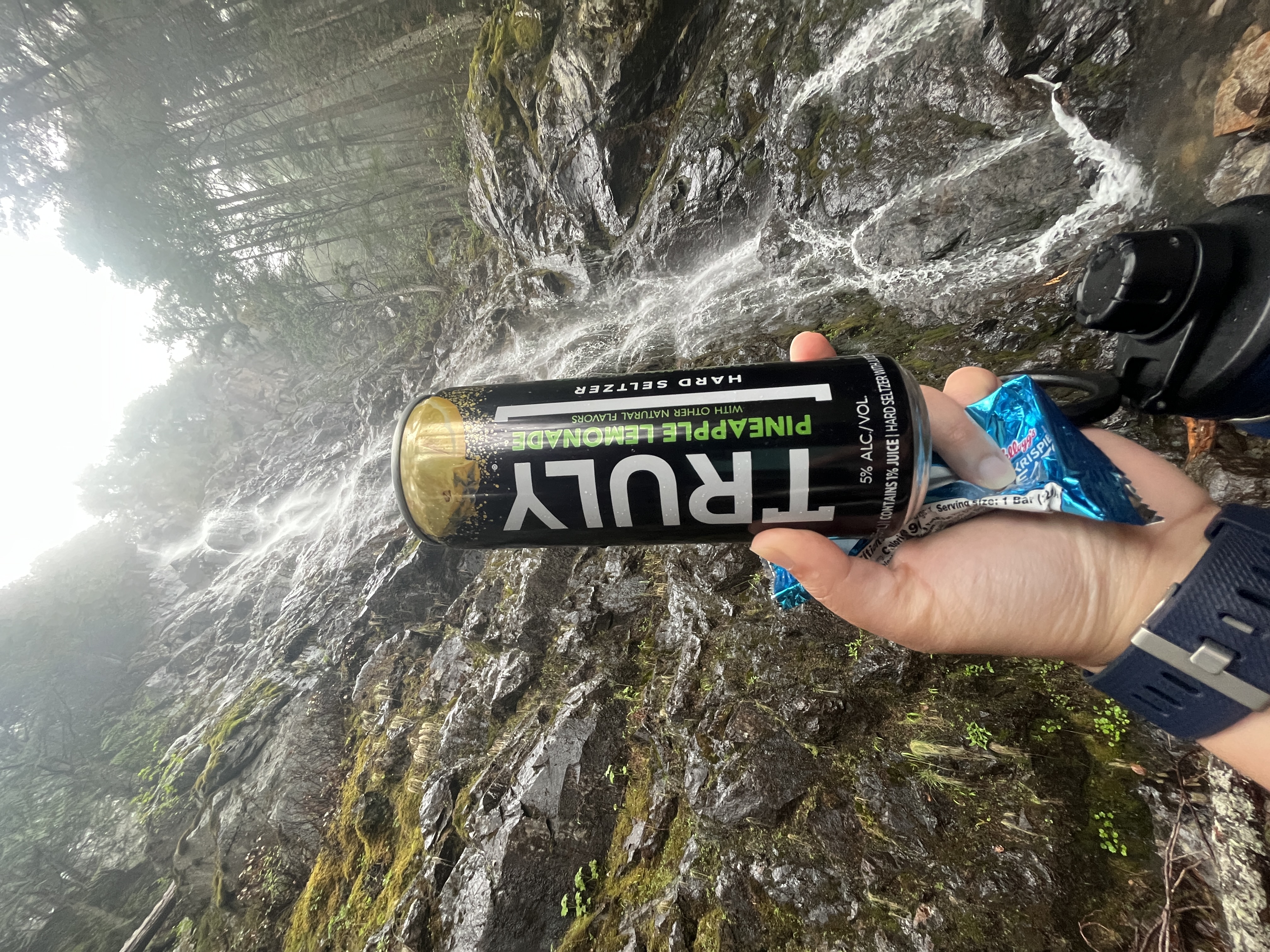
Mount Teneriffe Falls *
- Trail: Teneriffe Falls Loop via the Mount Teneiffe Trail
- Length: 5.9 mi
- Difficulty: Hard
- Key Details:
- Extremely rocky nearing the top, would recommend hiking poles and hiking boots
- The peak/view is just the waterfall, kind of lame considering how hard the hike was
- Bathrooms are gross but that’s to be expected
- Summary:
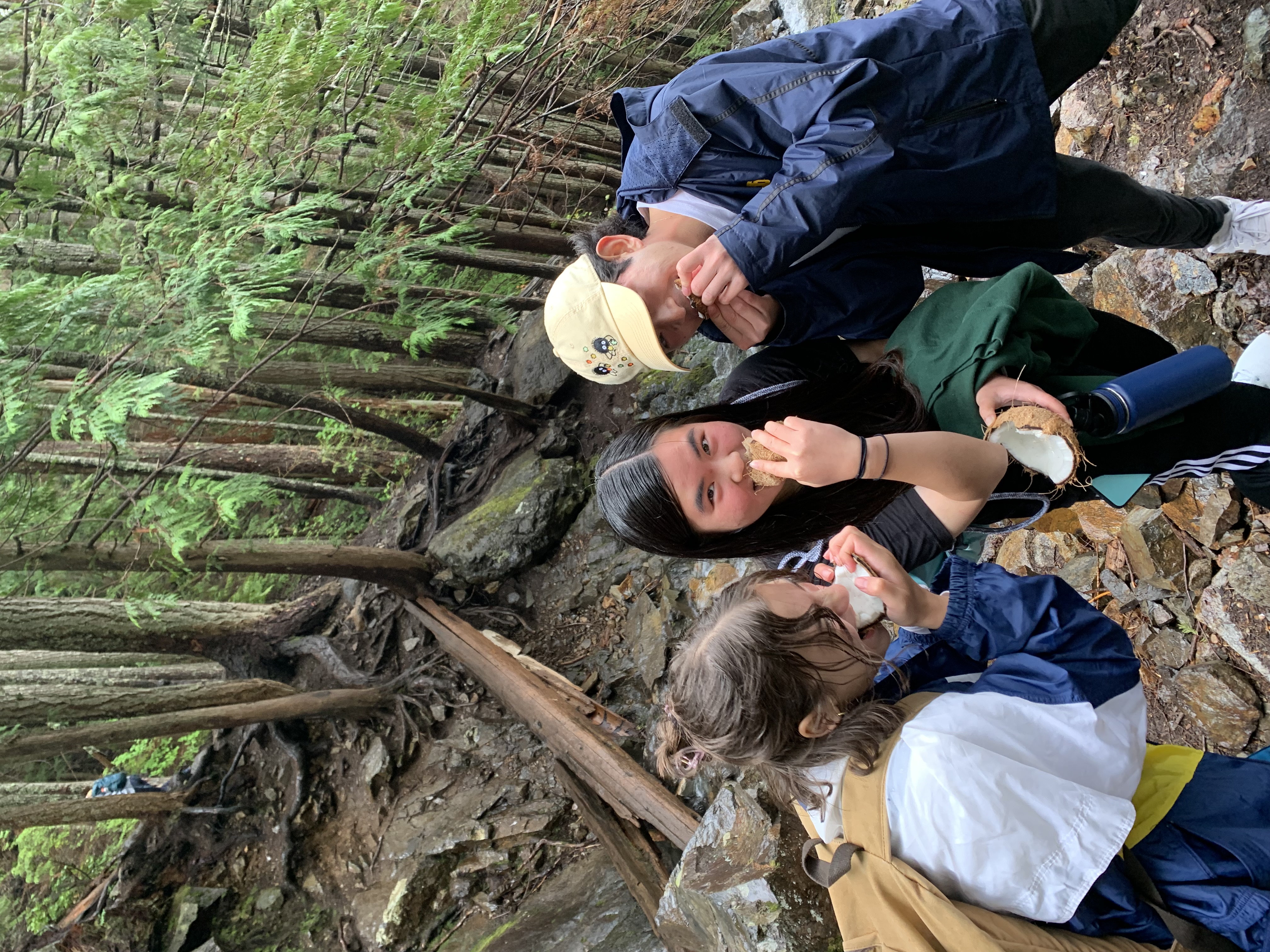
- In hindsight, honestly cannot believe this was my first hike in Washington — kind of impressive considering the turn of events and how I almost died on this hike (read more here once I write this post lol)
- My friends and I brought alcoholic beverages (White Claws) and a coconut to share at the top
Discovery Park
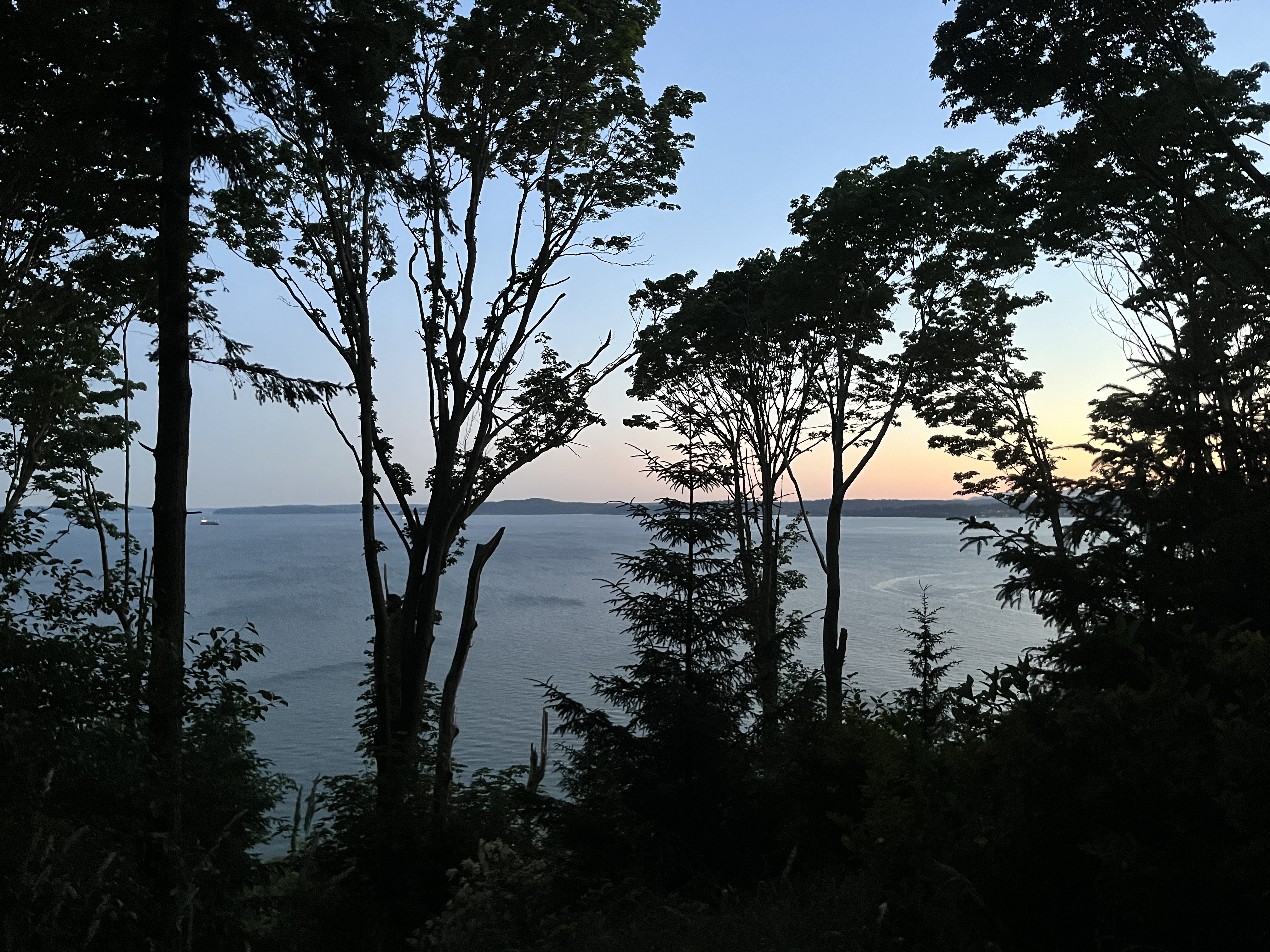
- Trail: South Beach and Hidden Valley Loop Trail
- Length: 2.4 mi
- Difficulty: Easy
- Key Details:
- HUGE park, basically a state park with a lot of easy trails
- The park attractions aren’t drivable (requires at least a little bit of walking)
- Transit is less accessible during the evening
- Summary:
- Got kind of lost on the trail especially with it getting dark
- Still had enough cell service to FaceTime someone and Lime scooter back to a bus stop
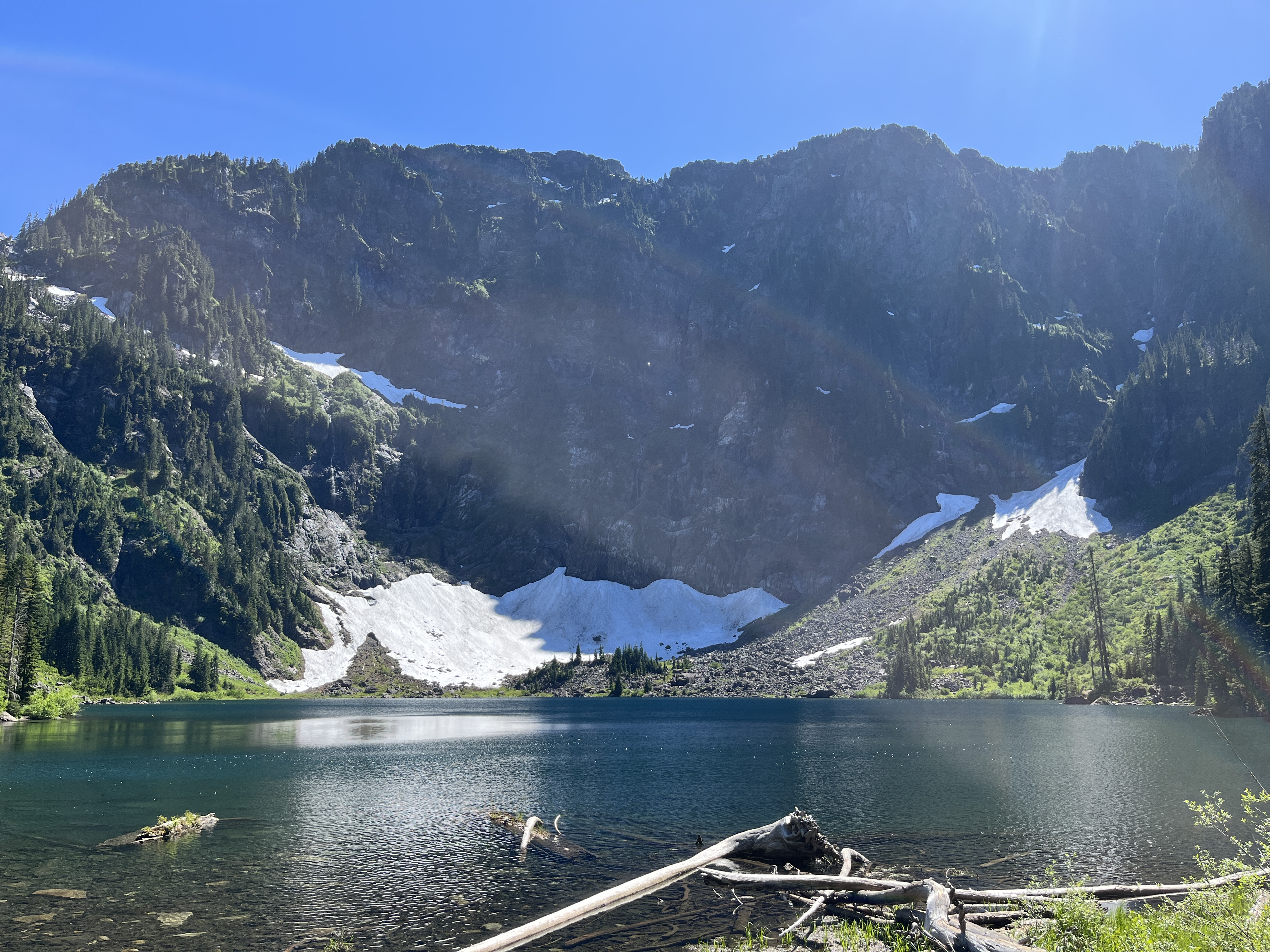
Lake 22
- Trail: Lake 22 Trail
- Length: 6 mi
- Difficulty: Moderate
- Key Details:
- Drove a rental car to this hike: commute is ~1.2 hour drive from the University of Washington to the trailhead parking
- Still snow near the lake in early July
- Summary:
- Friends swam in the lake, water was cold but didn’t look too dirty
- Enjoyable hike
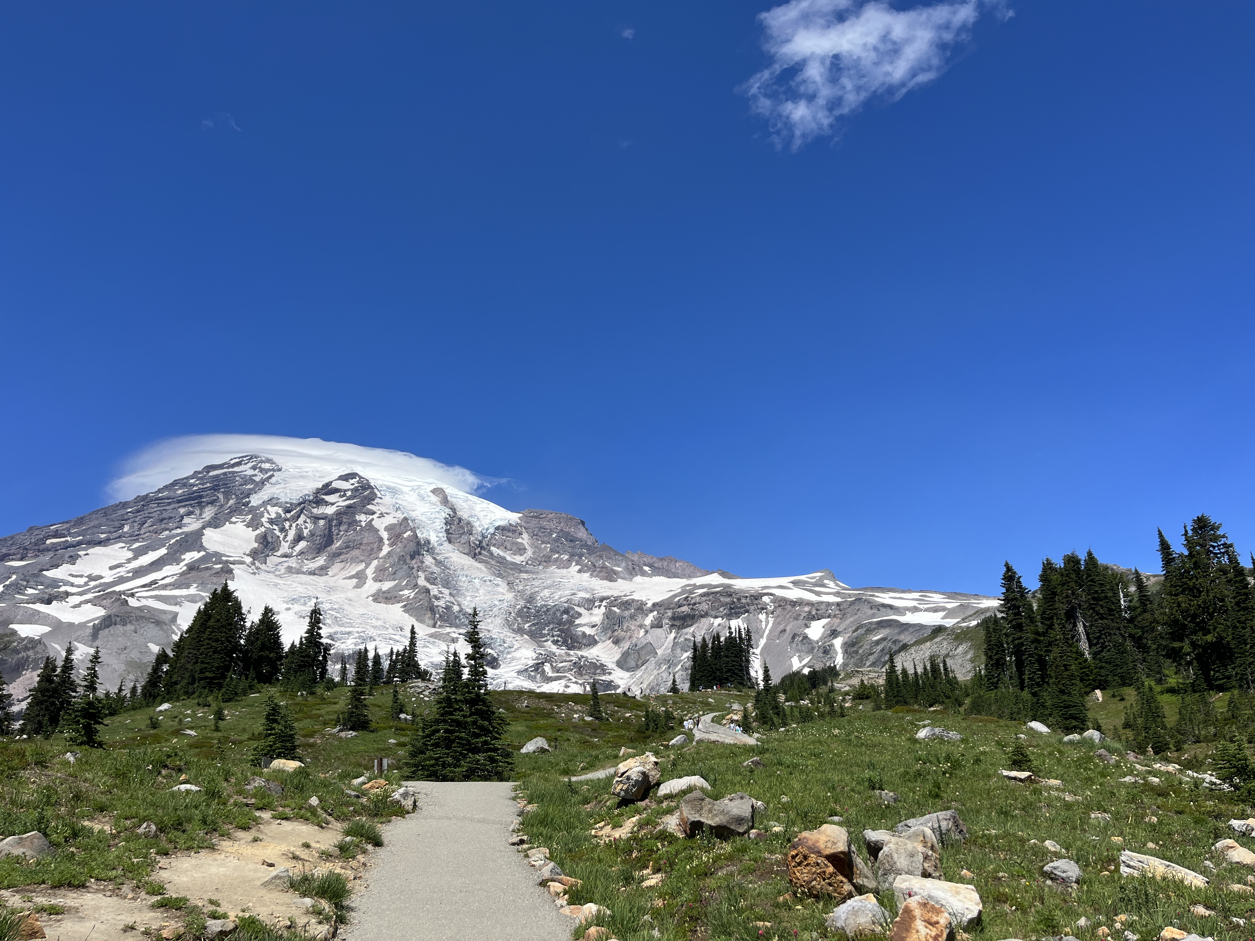
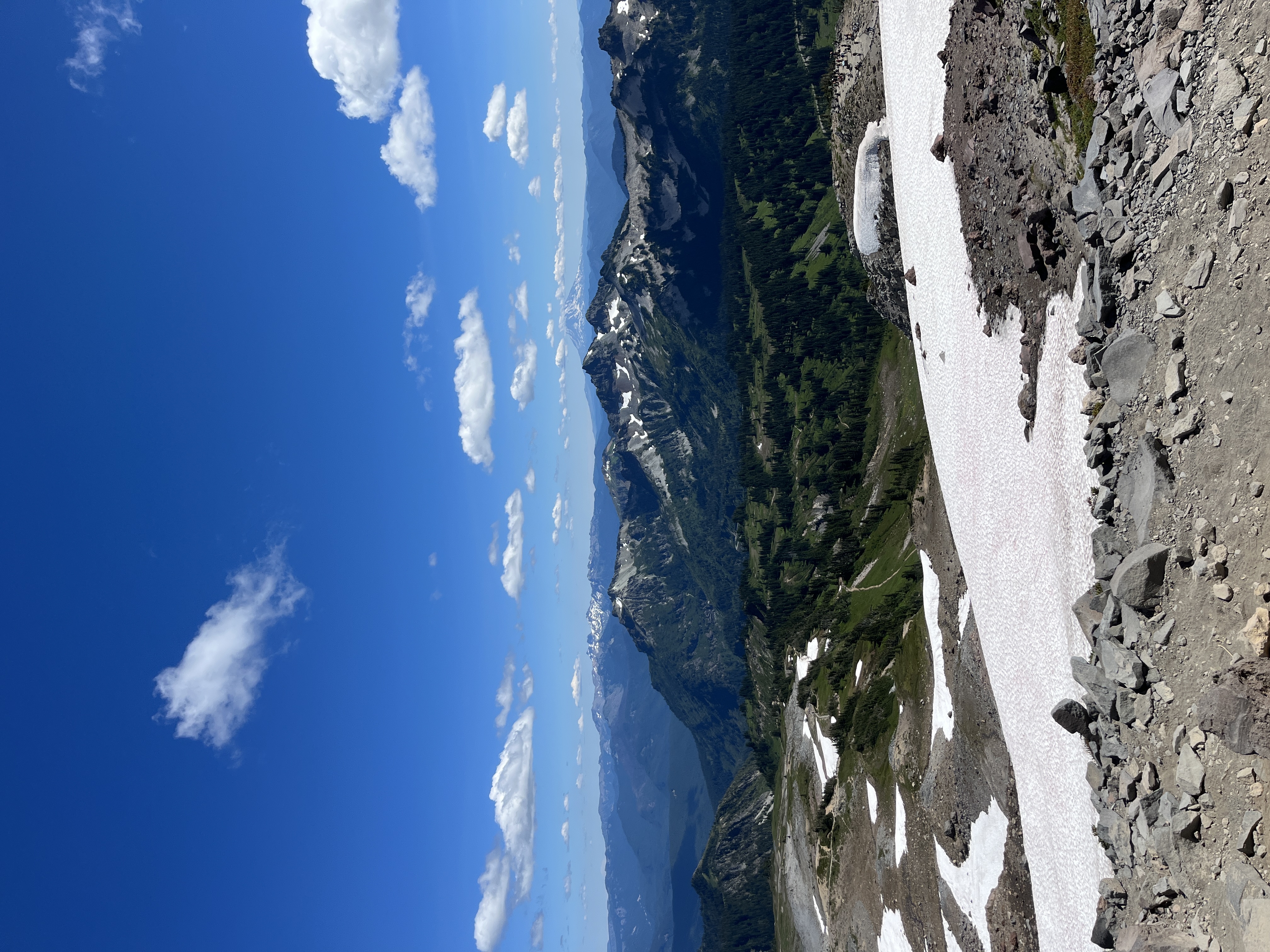
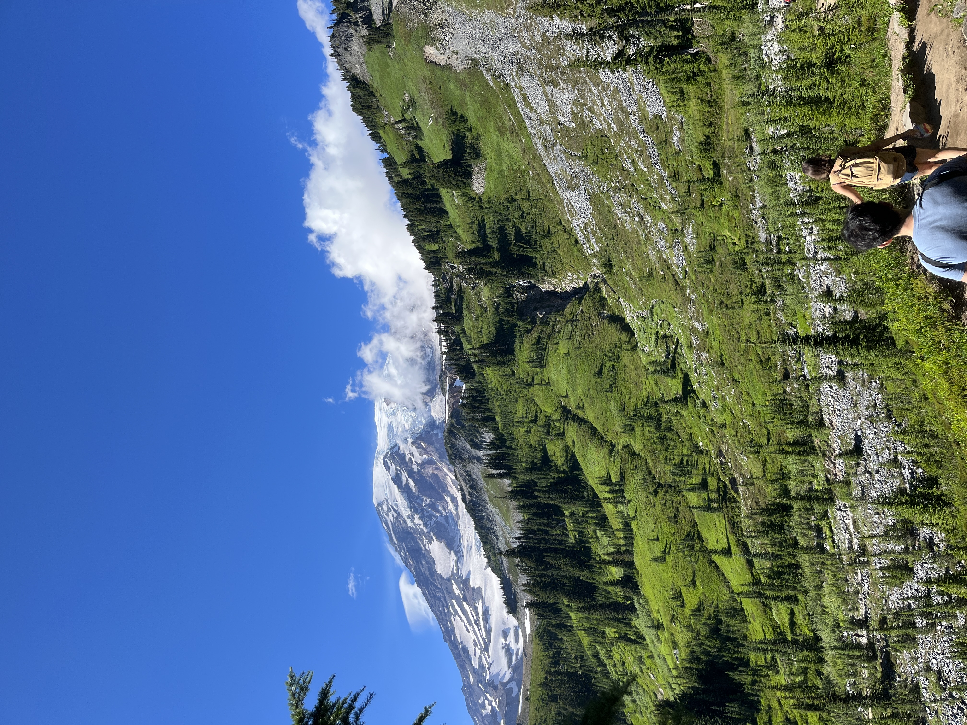
Mount Rainier
- Trail: Skyline Loop
- Length: 6 mi
- Difficulty: Hard (personally thought it was moderate-hard)
- Key Details:
- Drove a rental car to this hike: commute is ~1.5 hour drive from the University of Washington to the national park entrance
- Extremely popular national park and trail (in 2024, new reservation system implemented)
- First half is relatively unshaded with a lot of elevation
- Bathrooms are okay but there’s a long wait
- Summary:
- Beautiful but not sure if it’s worth the expenses, wait time, and parking struggles
Poo Poo Point *
- Trail: Poo Poo Point Trail
- Length: 6.6 mi (only did half)
- Difficulty: Moderate (personally thought it was moderate-hard)
- Key Details:
- Drove a rental car to this hike: commute is a ~30 minute drive from the University of Washington to the parking area but this was because I didn’t research on transportation options
- Beginning of the hike was extremely terrible with elevation, still scarred to this day
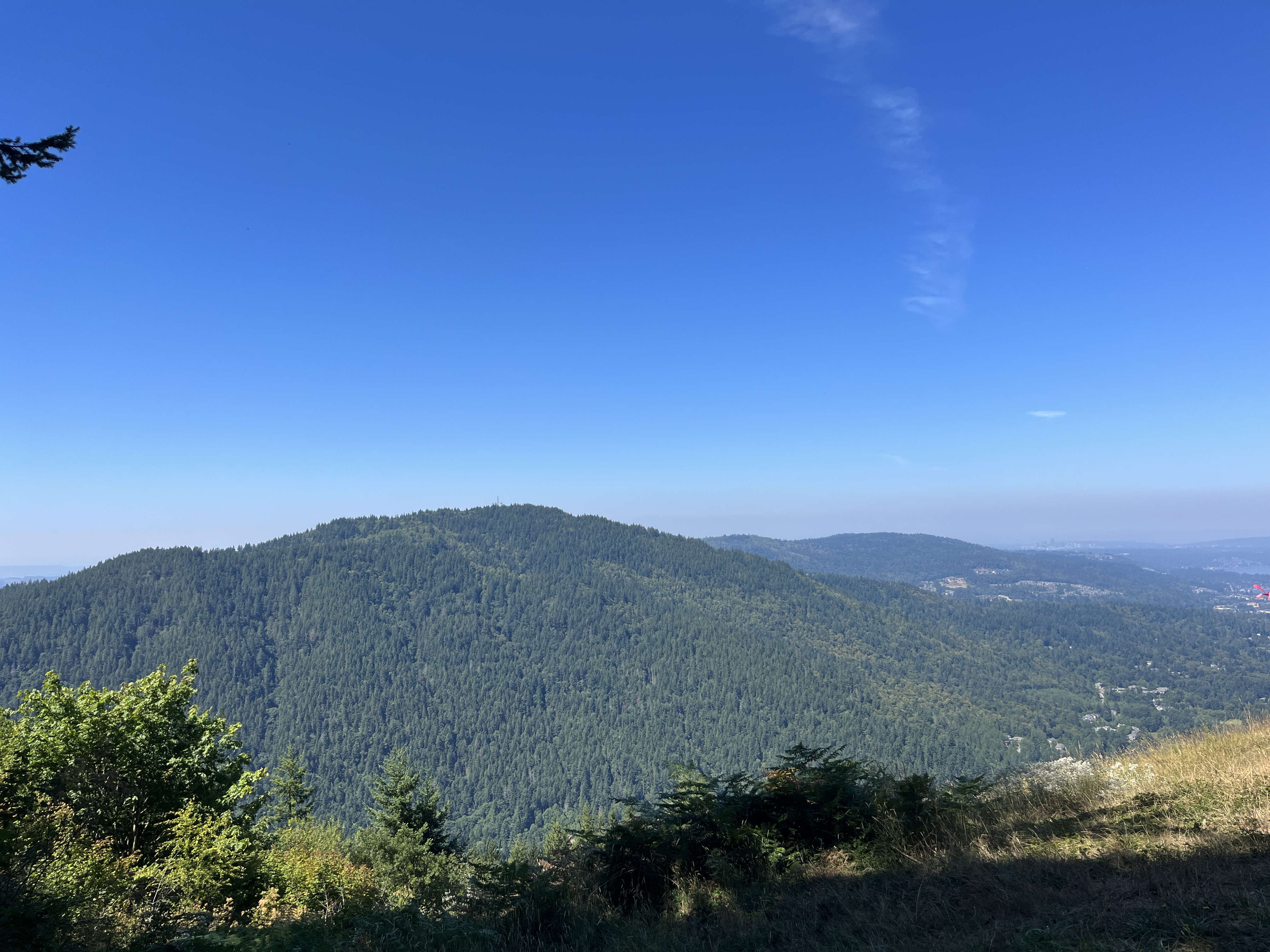
- Views of people paragliding but other than that… kind of lame
- Summary:
- Impulsively paraglided the hike down because the people offered my friend and I a discount LOL
Summer 2024
Carkeek Park
- Trail: Piper’s Creek Trail
- Length: 3.6 mi
- Difficulty: Easy
- Key Details:
- Only a couple of trails
- One of the more accessible parks than the ones listed here
- Summary:
- Chill trail, I’m not a runner but I can tell it would be good to run through
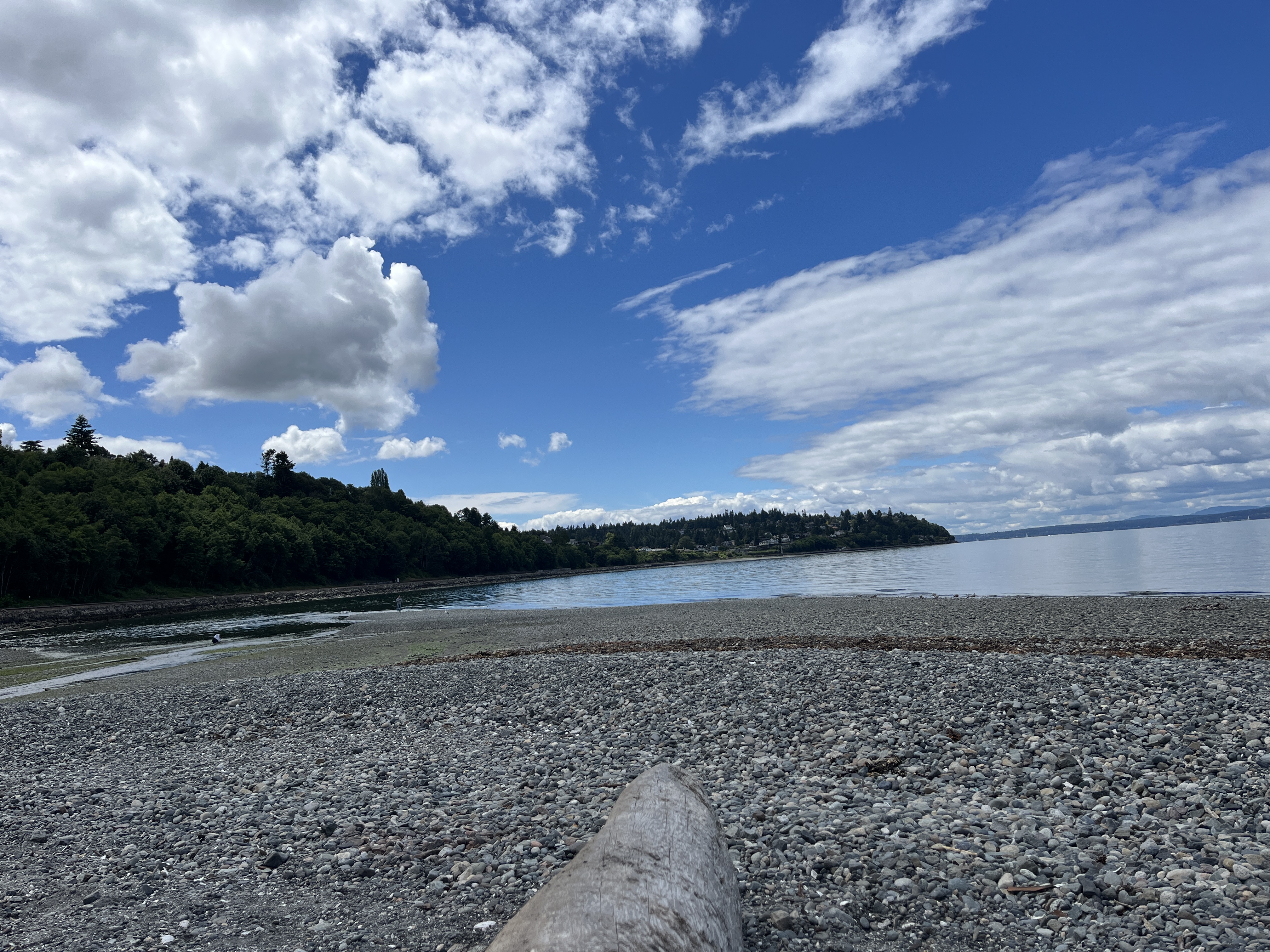
- Salmon creek viewing area but I wasn’t able to see any in June
- Rocky beach at the coast
Discovery Park
- Trail: Discovery Park and Lighthouse Loop
- Length: 4.5 mi
- Difficulty: Easy
- Key Details:
- HUGE park, basically a state park with a lot of easy trails
- The park attractions aren’t drivable (requires at least a little bit of walking)
- Transit is less accessible during the evening
- Summary:
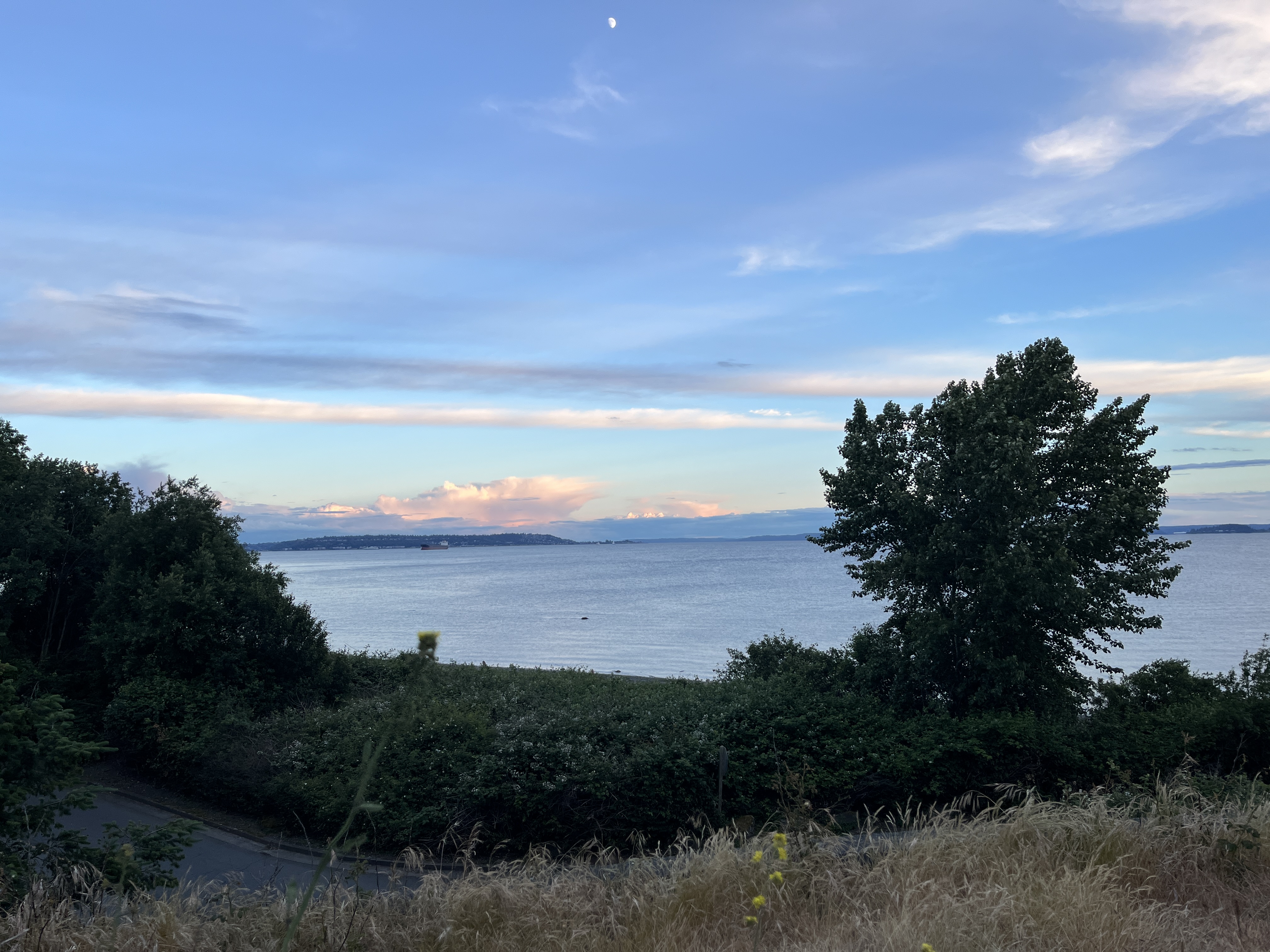
- Lighthouse is kind of cool
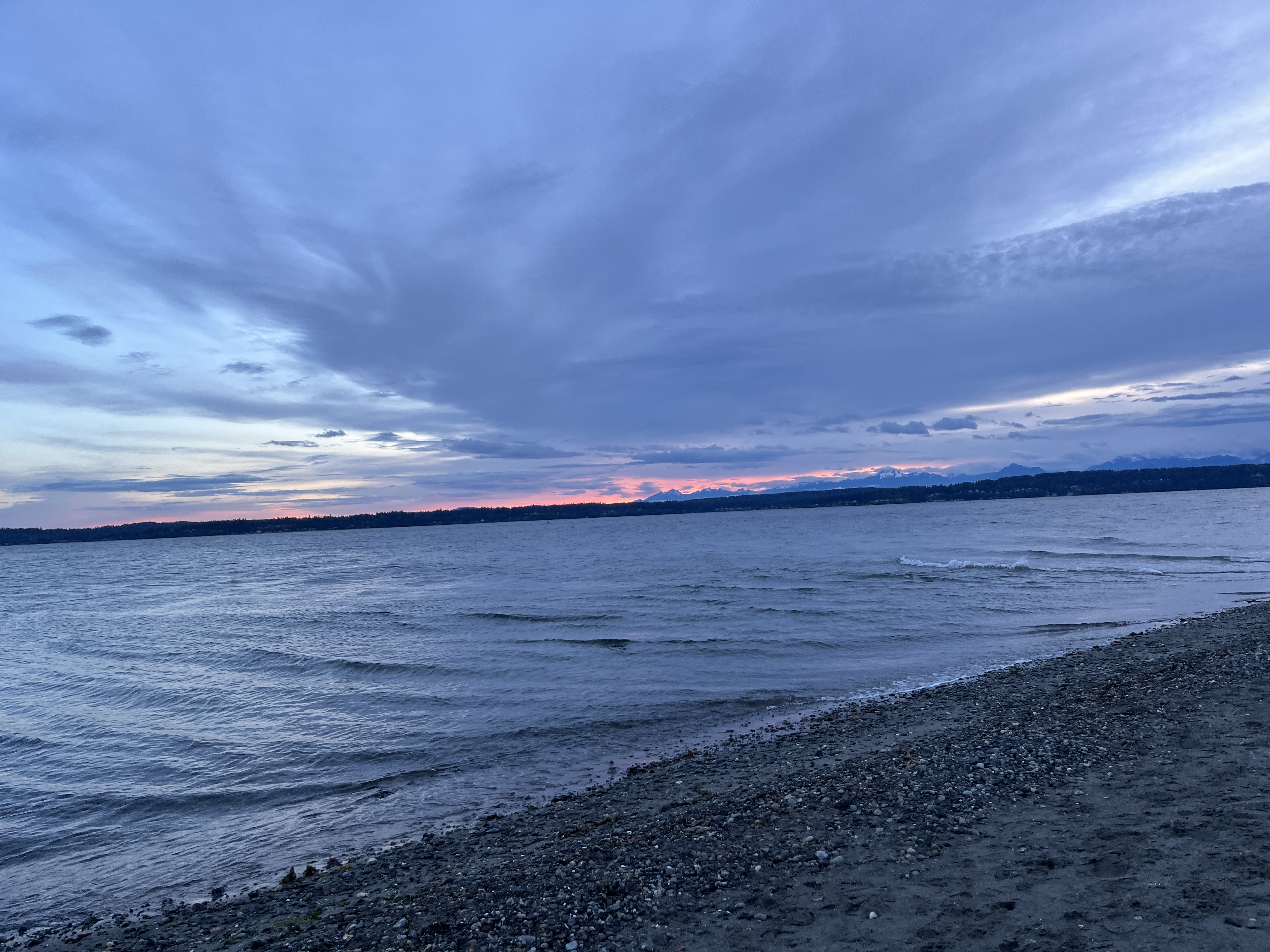
- Sunset is beautiful
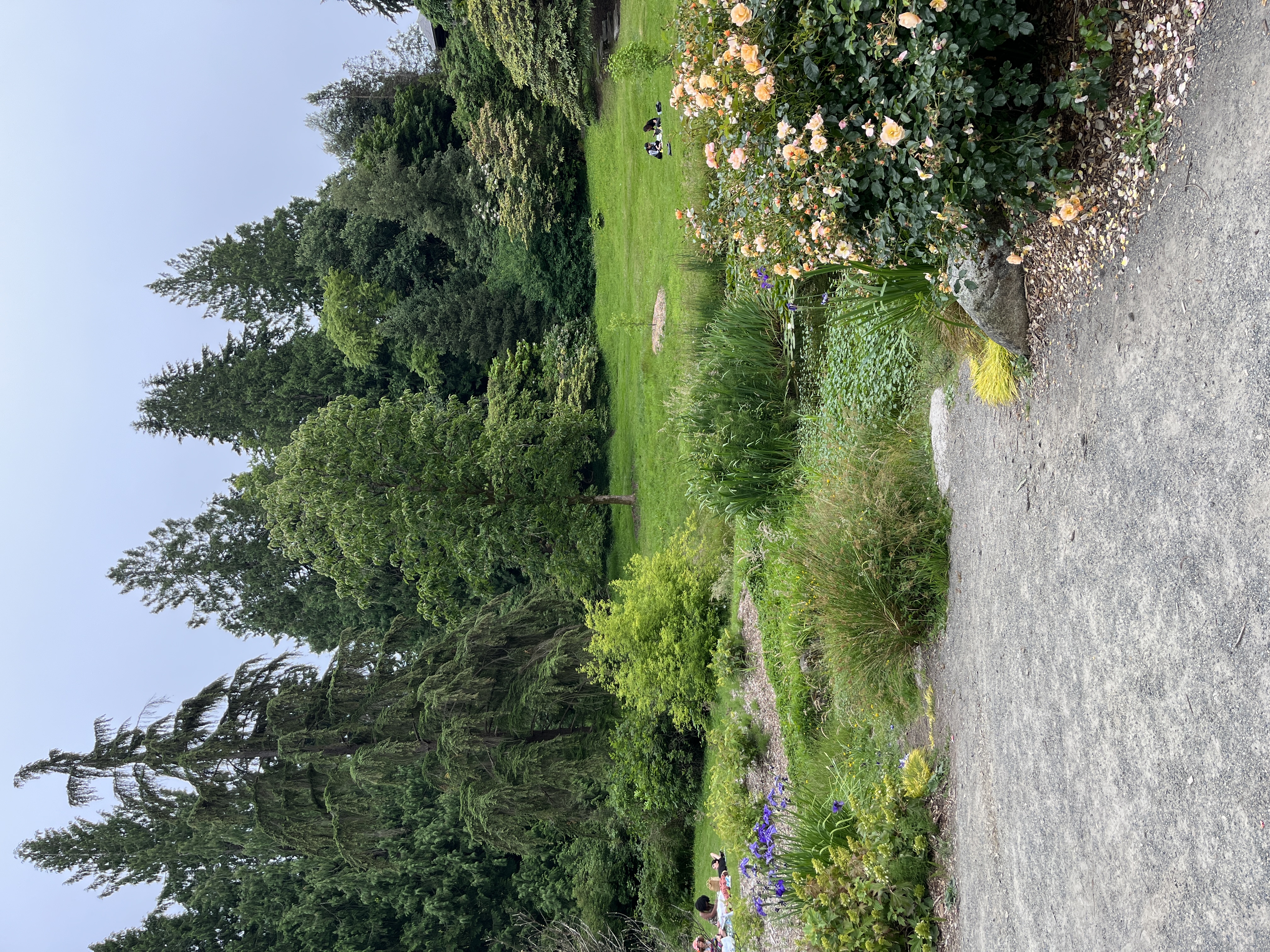
Washington Park Arboretum
- Trail: Washington Park Arboretum + Foster Island Trail
- Length: 3.06 mi
- Difficulty: Easy
- Key Details:
- Free and large
- Lots of beautiful nature, trees, and flowers to look at
- Summary:
- I went on portions of these two trails because I wanted to see certain areas of the arboretum while also seeing the water.
- Foster Island Trail was very muddy and wet near the water - my shoes were absolutely ruined.
- Hiked with a boba during the later half
Saint Edward State Park
- Trail: North, Beach, South Canyon, Orchard, Juanita, Arrowhead Loop
- Length: 5.4 mi
- Difficulty: Easy
- Key Details:
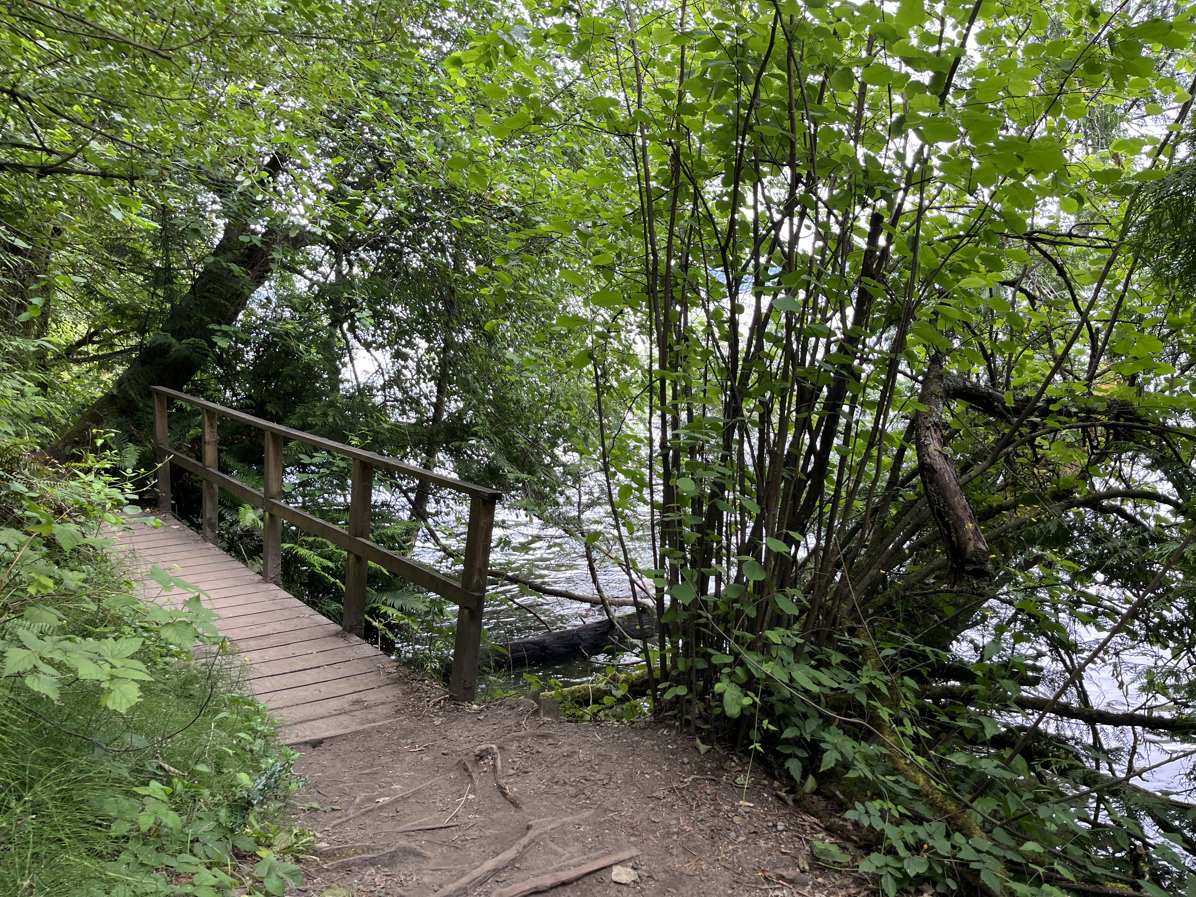
- Not public transit friendly - there are two busses that drop you off near the trailhead but they come very infrequently (once every hour)
- Beach is pretty lame and not accessible (can basically only enter to one section and you can’t spread out across the shore)
- Next to Bastyr University
- Summary:
- Had to hike an extra mile to get to the trailhead
Seward Park
- Trail: Seward Park Perimeter Loop
- Length: 3.31 mi
- Difficulty: Easy
- Key Details:
- Transit friendly
- Contains multiple play structure areas and water refill stations
- Summary:
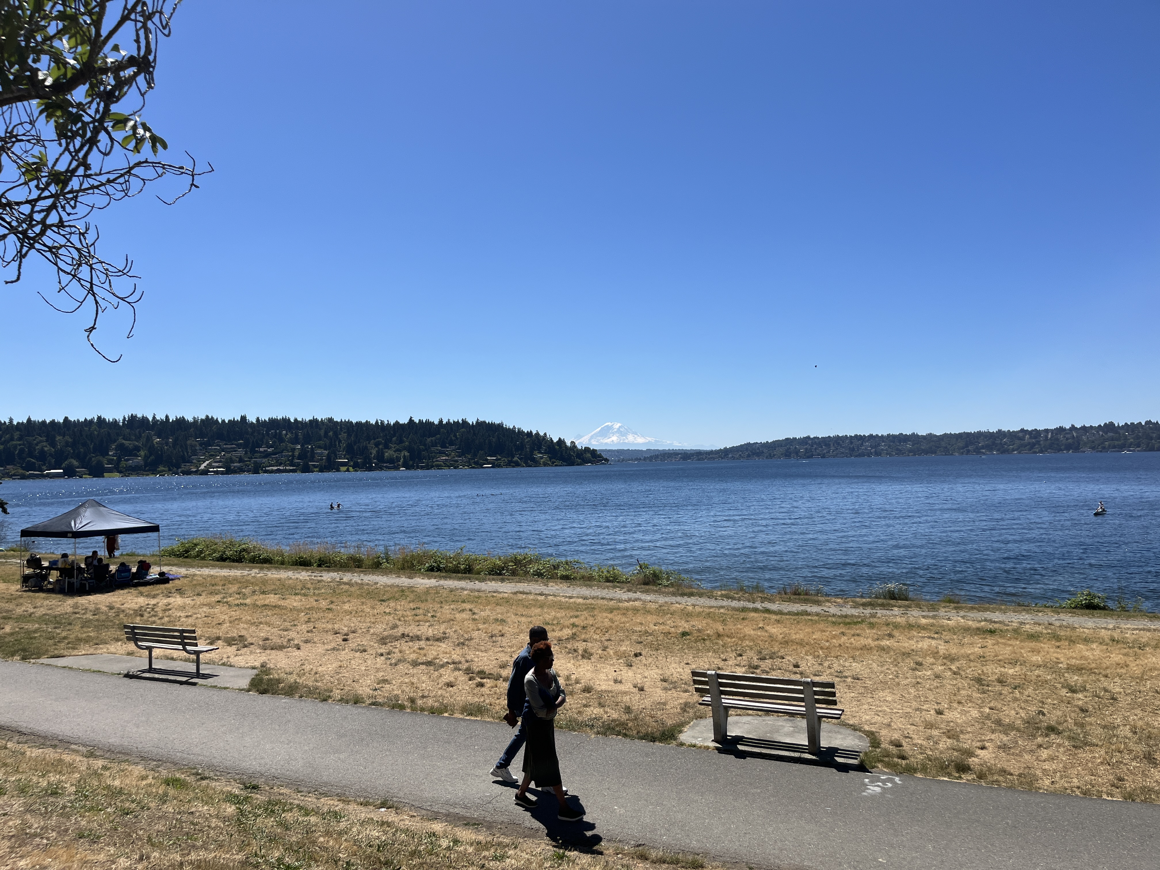
- Beautiful view of Mount Rainier
- Would be good to go on a run through
Bridle Trails State Park
- Trail: Raven and Coyote Trail Loop
- Length: 6.51 mi
- Difficulty: Easy
- Key Details:
- Lots of horse poop on the trail
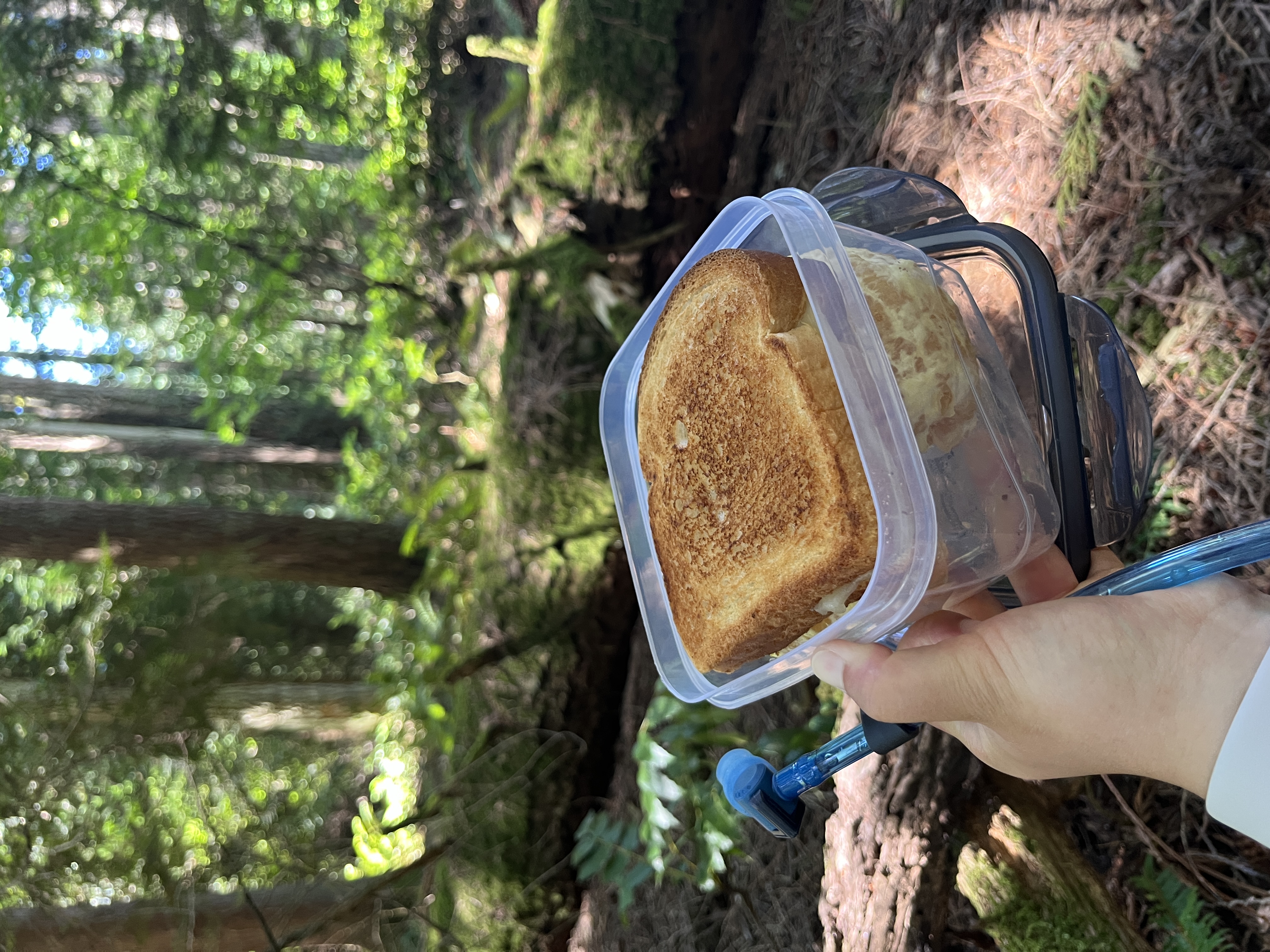
- No views but solid trails
- Summary:
- I stepped in horse poop
Cougar Mountain Regional Wildlife Park *
- Trail: Big Tree Ridge Trail
- Length: 6.35 mi
- Difficulty: Moderate
- Key Details:
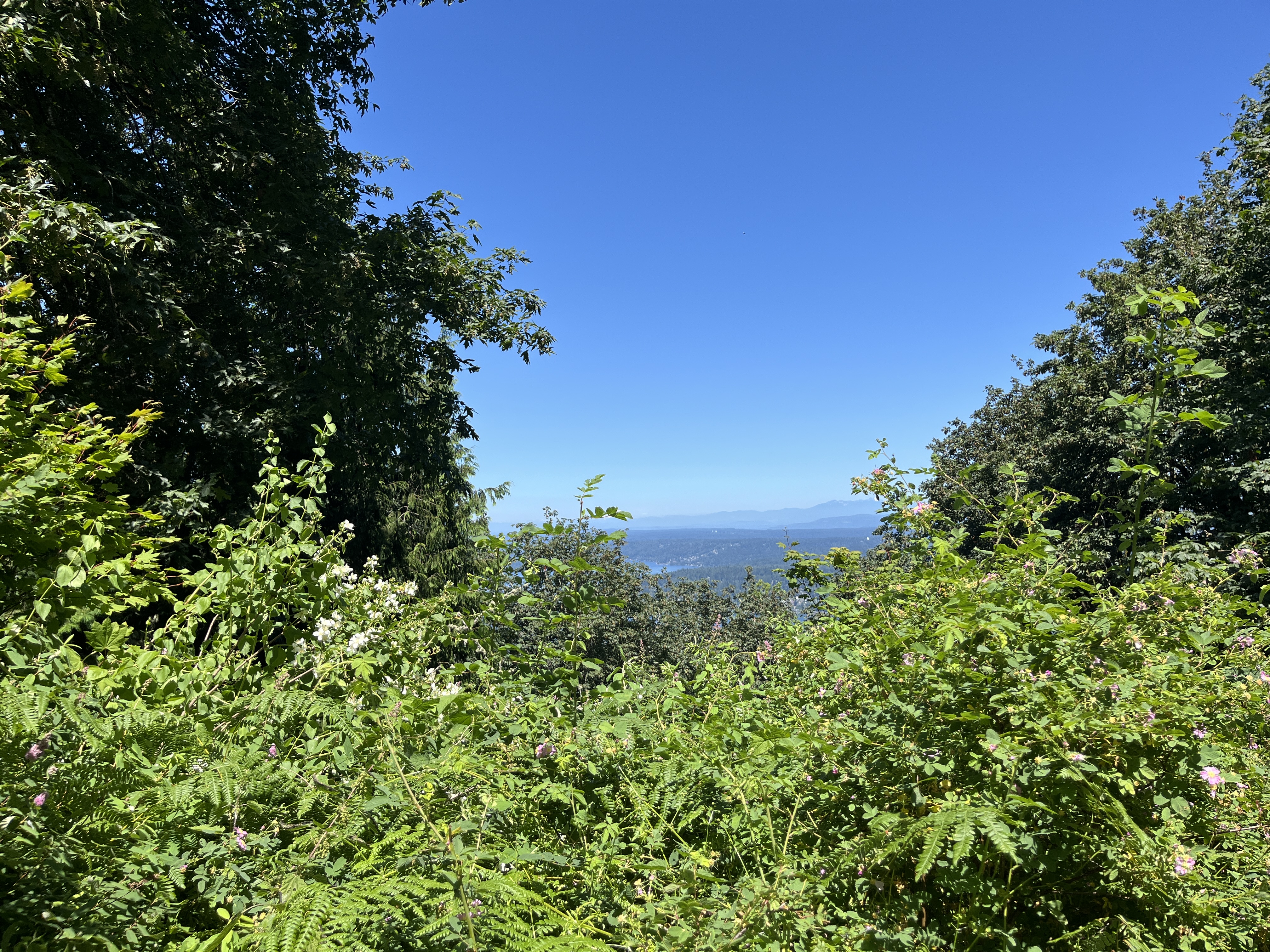
- A bit of elevation to the viewpoint (also drivable)
- Large picnic areas at the top with tables and benches
- Summary:
- View isn’t great but also isn’t terrible
- I got hives during this hike and also peed in the woods for the first time
Little Si *
- Trail: Little Si Trail
- Length: 4.5 mi
- Difficulty: Moderate
- Key Details:
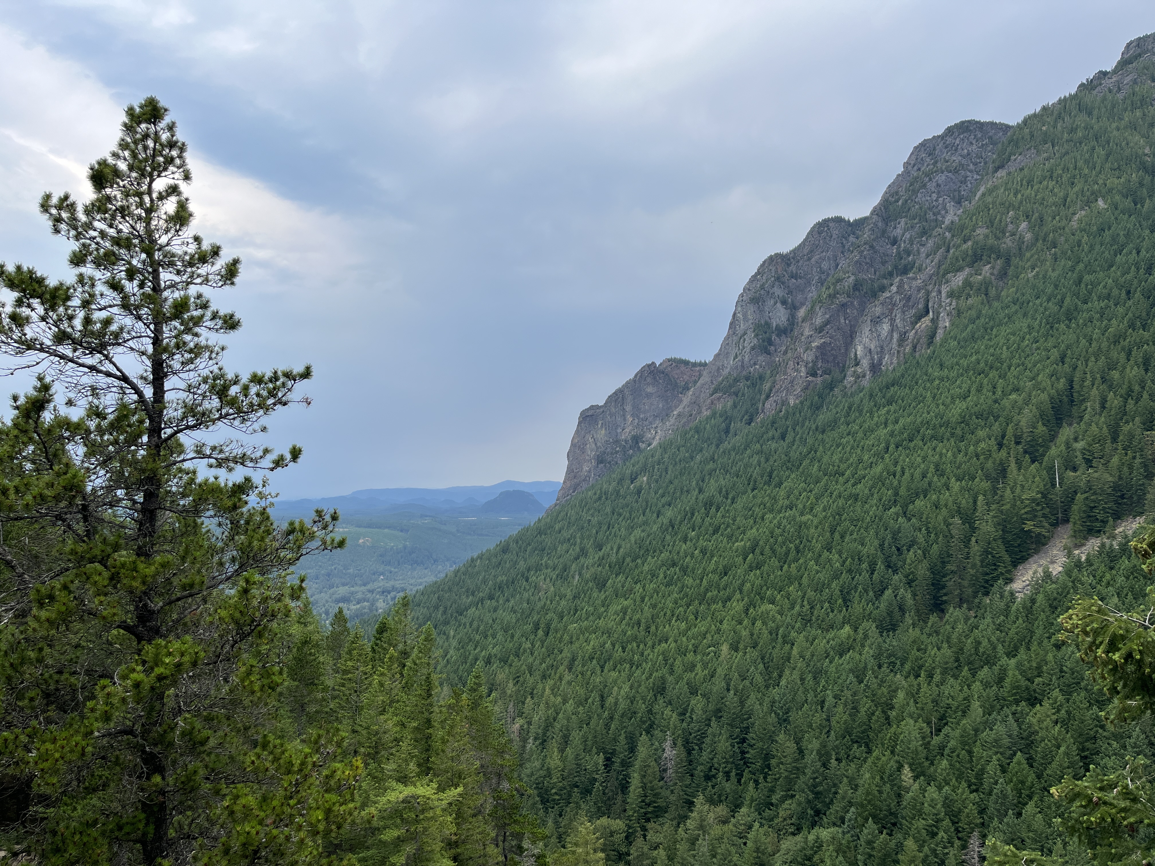
- The extremely smaller and less intense version of Mount Si
- Popular hike
- Summary:
- Everyone and their mom was at this hike when I went (an entire college club was hoarding the peak when I got there)
Squak Mountain *
- Trail: Debbie’s View via May Valley Loop and West Peak Trail
- Length: 6.51 mi
- Difficulty: Moderate (persnally thought it was moderate-hard)
- Key Details:
- Not too popular
- Summary:
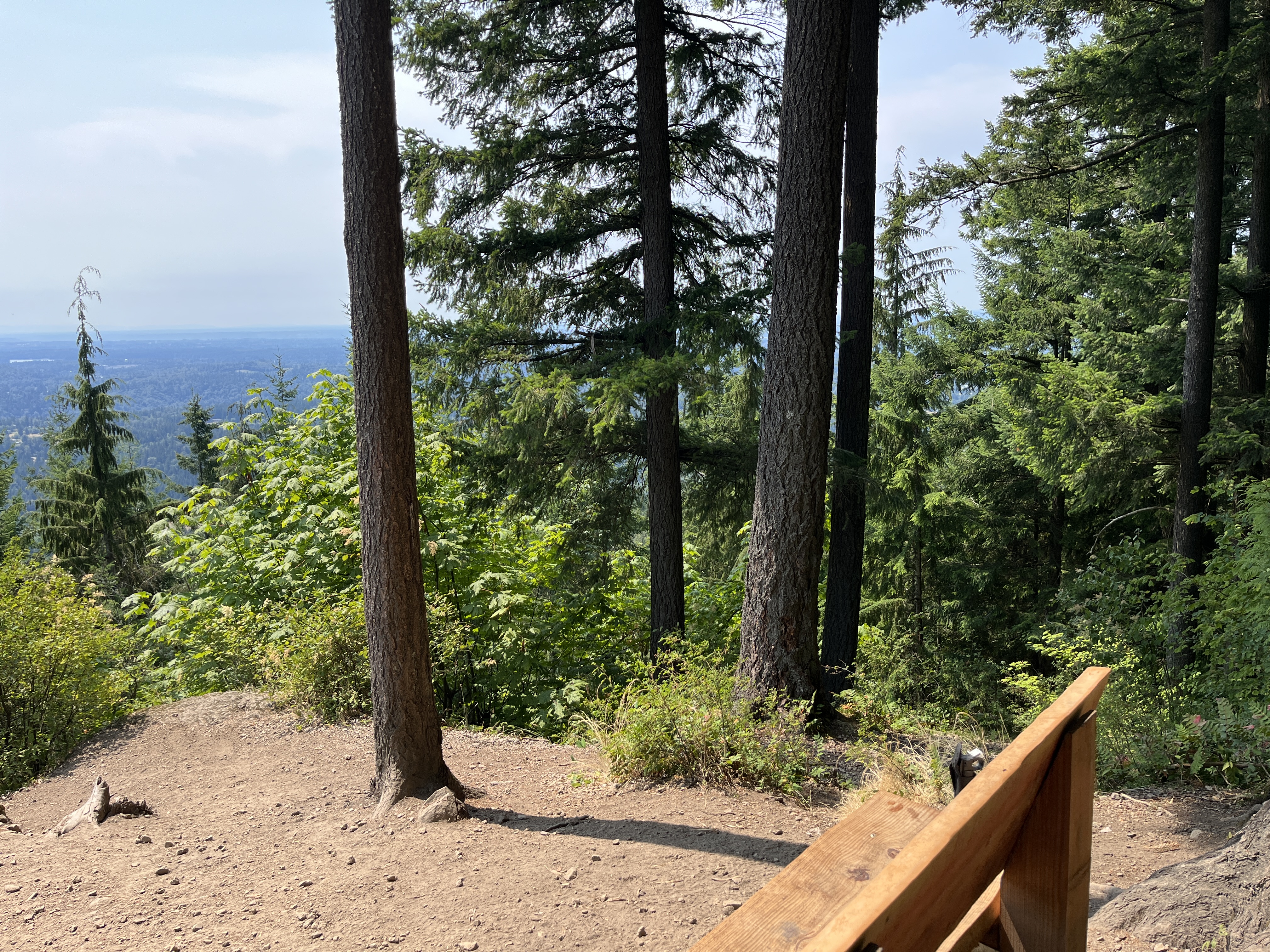
- Hike was kind of hard and am not sure if the view is worth it
- Raspberry bushes along the trail
- Cute Samoyed dogs at the peak when I went
Mount Si *
- Trail: Mount Si Trail
- Length: 8.13 mi
- Difficulty: Hard
- Key Details:
- Relatively popular trail (apparently most Washington residents go on this hike at least once) among adults
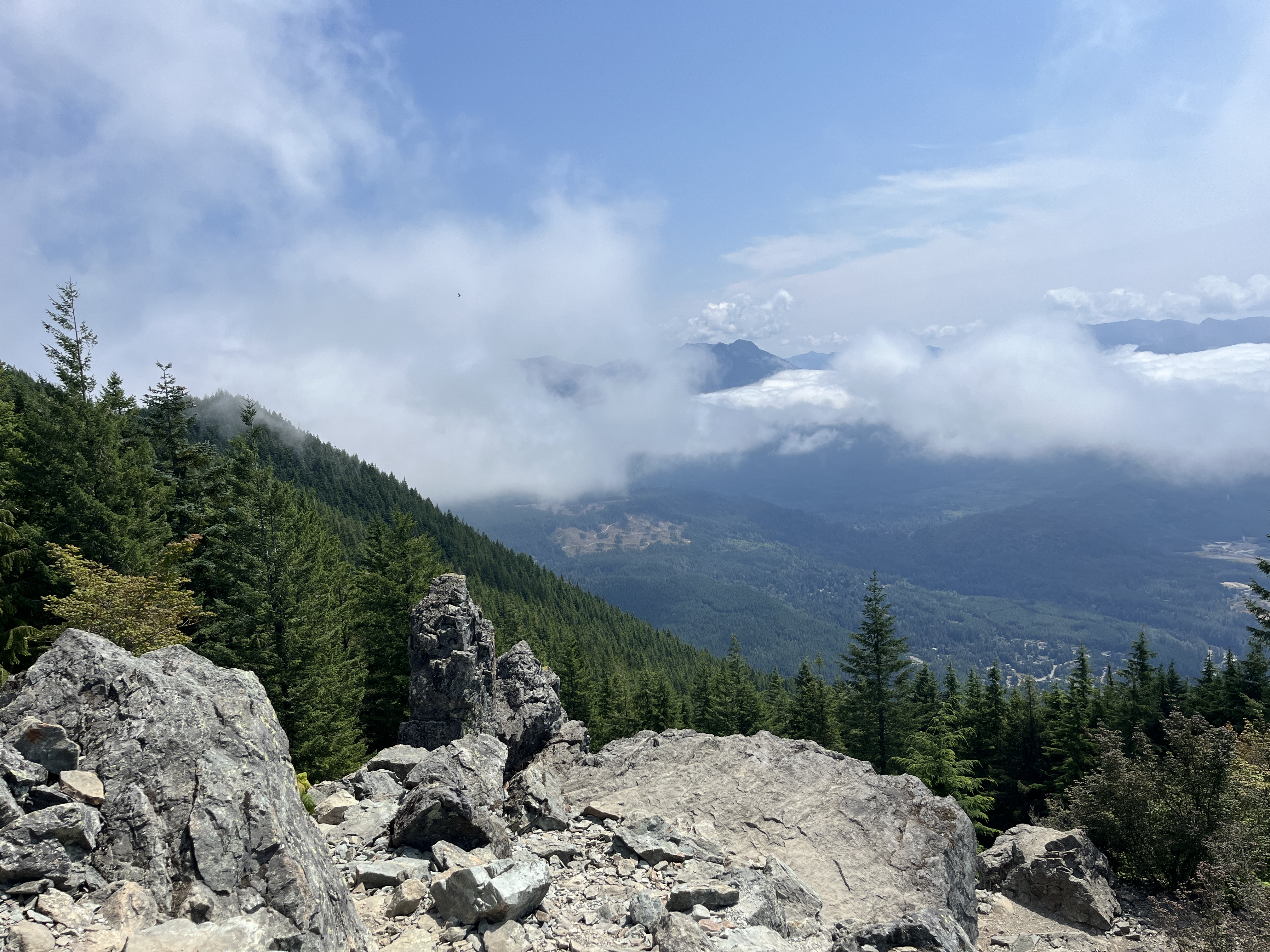
- Very rocky at the top, would recommend hiking poles and hiking boots
- So many bugs and mosquitos, would recommend bug spray because stopping meant bugs swarming you
- Bathrooms are gross but that’s to be expected
- Summary:
- I got 12 bug bites after this hike while wearing long pants
- My hip hurt to the point where putting on pants and socks was extremely uncomfortable after this hike (but I also hiked Squak Mountain the day before)
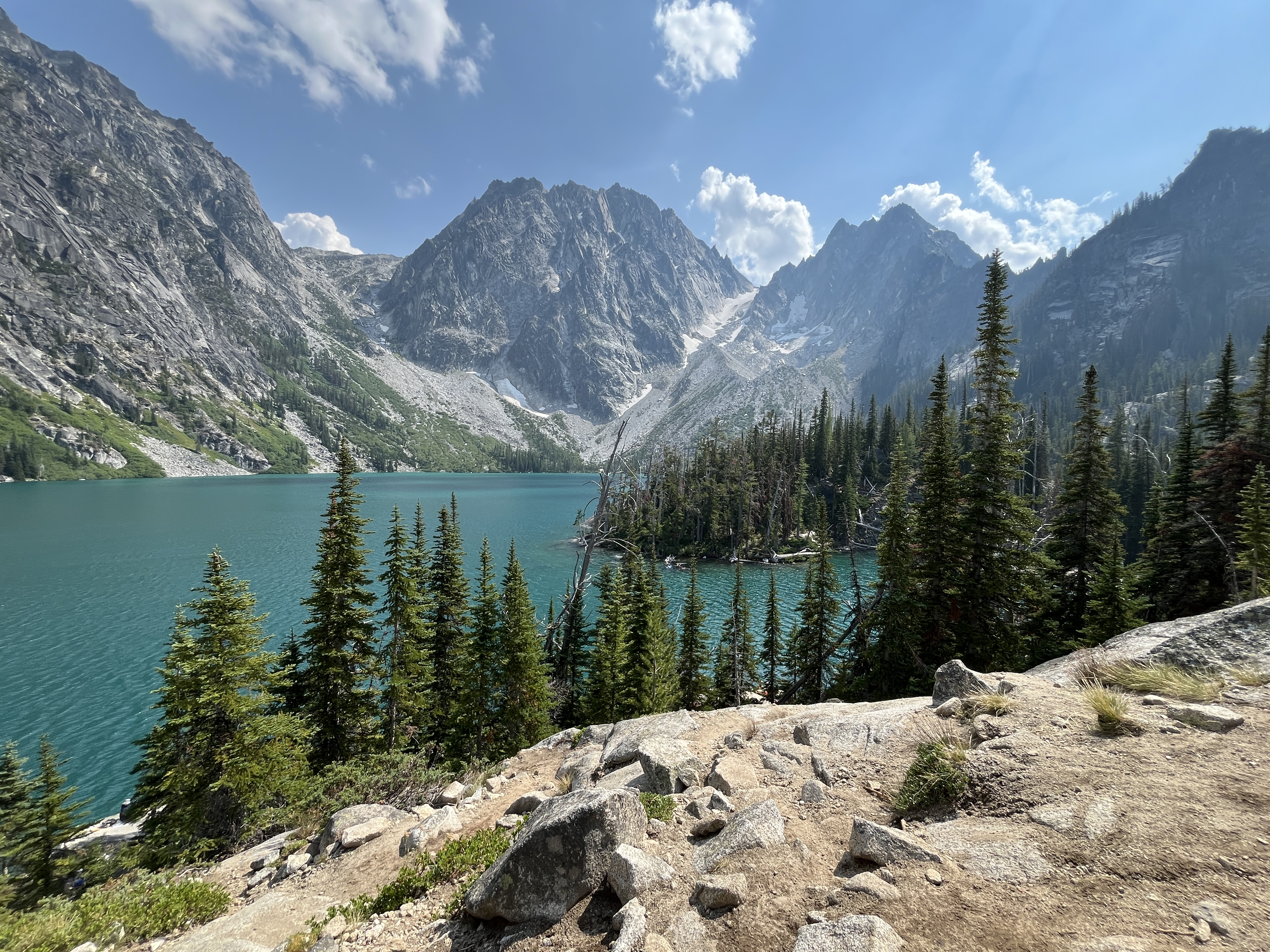
Colchuck Lake
- Trail: Colchuck Lake via Stuart Lake and Colchuck Lake Trail
- Length: 10.51 mi
- Difficulty: Hard (personally thought moderate-hard)
- Key Details:
- Drove a rental car to this hike: commute is ~3 hour drive from SeaTac to the trailhead parking
- Very uneven terrain to get to the parking area (would not bring my own car to this) and had to park 1 mile away from the trailhead
- Requires a parking pass ($5 per day)
- Extremely popular hike among all age groups
- Alpine lake at the peak of the hike, still snow in some areas in mid August
- Extremely rocky at the top, would recommend hiking poles and hiking boots
- So many bugs and mosquitos, would recommend bug spray because stopping meant bugs swarming you
- Bathrooms are gross but that’s to be expected
- Summary:
- I had a lot of hype surrounding this hike and it was kind of disappointing. The hike overall was easier than Mount Si in terms of elevation but the length of the hike was more than its utility. Getting to the lake is difficult (scramble through rocky areas) and the water didn’t look too clean so I didn’t swim in it.
- I had a headache at the peak and all I wanted to do was go home but since the hike is so long, I had to hike 5 miles back and drive for another 3 hours.
No Car Hikes
The parks in Washington are absolutely beautiful and larger than the suburban parks I’m used to which is why most have trails. I needed to also ease myself back into hiking which is why I went to a bunch of parks since they serve as good alternatives to more strenuous hiking trails.
I didn’t have a car in Seattle but luckily, Washington has significantly better public transportation than California. Especially with all of the nature, there is the Trailhead Direct which operates during the weekends between late May till mid September. This is just an extension of the King County Metro where there are shuttles that drop riders off to some trailheads. Payment is through the ORCA card ($2.75 per ride) which I think is a great deal since the shuttles are relatively fast and you don’t have to drive after a tiring hike. The only downside is that the shuttles do get full fast so be sure to get there early and that the timings of the bus is inconsistent (but they do eventually come).
During my second summer here, I had no friends but I still wanted to hike. It’s definitely a lot more riskier and cost-inefficient for solo hikers so I had to adapt and research hiking trails that were public transit-friendly. It was a bit difficult to find which trails were accessible so I wanted to compile a list for people who were in the same boat as me.
- Seward Park
- Carkeek Park
- Washington Park Arboretum
- Discovery Park
- Bridle Trails State Park
- Saint Edward State Park
- Cougar Mountain Regional Wildland Park
- Squak Mountain
- Mount Teneriffe Falls
- Little Si
- Mount Si
Must Go Hikes
While my time in Seattle has mostly come to an end 😞, these are the hikes I think are worth doing if you get the chance to be in the area!
- Lake 22
- Little Si
- Discovery Park
- Honorable Mention: Golden Gardens Park (the only beach with sand I’ve found in Washington)
Index
All Hikes:
- Mount Teneriffe Falls
- Discovery Park
- Lake 22
- Mount Rainier
- Poo Poo Point
- Carkeek Park
- Washington Park Arboretum
- Saint Edward State Park
- Seward Park
- Bridle Trails State Park
- Cougar Mountain Regional Wildlife Park
- Little Si
- Squak Mountain
- Mount Si
- Colchuck Lake